This series of photographs shows the condition of the land after the Georgia Department of Transportation stopped work by a court injunction in 1992 on the Jimmy Carter Parkway, now known as Freedom Parkway.
![1992_MG_4959](https://freedomparkway.info/wp-content/uploads/2009/08/1992_MG_4959-1024x680.jpg)
Copenhill
![1992_MG_4958](https://freedomparkway.info/wp-content/uploads/2009/08/1992_MG_4958-1024x684.jpg)
View from Copenhill
![1992_MG_4956](https://freedomparkway.info/wp-content/uploads/2009/08/1992_MG_4956.jpg)
East Ave and the Radio Tower
![1992_MG_4957](https://freedomparkway.info/wp-content/uploads/2009/08/1992_MG_4957-1024x682.jpg)
Near of Linwood Ave
![1992_MG_4955](https://freedomparkway.info/wp-content/uploads/2009/08/1992_MG_4955-1024x690.jpg)
Radio Tower Building
![1992_MG_4954](https://freedomparkway.info/wp-content/uploads/2009/08/1992_MG_4954-1024x687.jpg)
Freedom Parkway
![1992_MG_4953](https://freedomparkway.info/wp-content/uploads/2009/08/1992_MG_4953-1024x679.jpg)
Copenhill
![1992_MG_4952](https://freedomparkway.info/wp-content/uploads/2009/08/1992_MG_4952-1024x678.jpg)
Atlanta Skyline and the Boulevard Bridge
![1992_MG_4951](https://freedomparkway.info/wp-content/uploads/2009/08/1992_MG_4951-1024x687.jpg)
The View From Copenhill
![1992_MG_4950](https://freedomparkway.info/wp-content/uploads/2009/08/1992_MG_4950-1024x686.jpg)
A View Towards the Carter Center
![1992_MG_4949](https://freedomparkway.info/wp-content/uploads/2009/08/1992_MG_4949-1024x673.jpg)
Copenhill View Detail
![1992_MG_4948](https://freedomparkway.info/wp-content/uploads/2009/08/1992_MG_4948-1024x676.jpg)
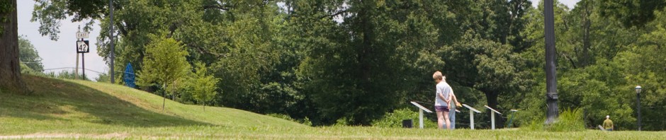
Linwood Ave. and Williams Mill Rd.
![1992_MG_4947](https://freedomparkway.info/wp-content/uploads/2009/08/1992_MG_4947-1024x680.jpg)
Directions
![1992_MG_4946](https://freedomparkway.info/wp-content/uploads/2009/08/1992_MG_4946-1024x692.jpg)
Highland Ave. at Randolph St. and Glen Iris Dr.
![1992_MG_4945](https://freedomparkway.info/wp-content/uploads/2009/08/1992_MG_4945-1024x679.jpg)
Parkway Bridge Abutment
![1992_MG_4944](https://freedomparkway.info/wp-content/uploads/2009/08/1992_MG_4944-1024x677.jpg)
Barnett St. Ends
![1992_MG_4943](https://freedomparkway.info/wp-content/uploads/2009/08/1992_MG_4943-1024x686.jpg)
Alaska Ave. Crossing
![1992_MG_4942](https://freedomparkway.info/wp-content/uploads/2009/08/1992_MG_4942-1024x681.jpg)
Howell St.
![1992_MG_4940](https://freedomparkway.info/wp-content/uploads/2009/08/1992_MG_4940-1024x678.jpg)
Moreland Ave. Bridge Abutment Shelter
![1992_MG_4939](https://freedomparkway.info/wp-content/uploads/2009/08/1992_MG_4939-1024x671.jpg)
Hidden Viewpoint
![1992_MG_4937](https://freedomparkway.info/wp-content/uploads/2009/08/1992_MG_4937-1024x681.jpg)
Just South of North Ave.
![1992_MG_4936](https://freedomparkway.info/wp-content/uploads/2009/08/1992_MG_4936-1024x668.jpg)
Tire Dump Detail on Barnett.
![1992_MG_4933](https://freedomparkway.info/wp-content/uploads/2009/08/1992_MG_4933-1024x683.jpg)
Highland Ave Facing West
![1992_MG_4932](https://freedomparkway.info/wp-content/uploads/2009/08/1992_MG_4932-1024x686.jpg)
End of the Road
![1992_MG_4931](https://freedomparkway.info/wp-content/uploads/2009/08/1992_MG_4931-1024x679.jpg)
Easr Ave.